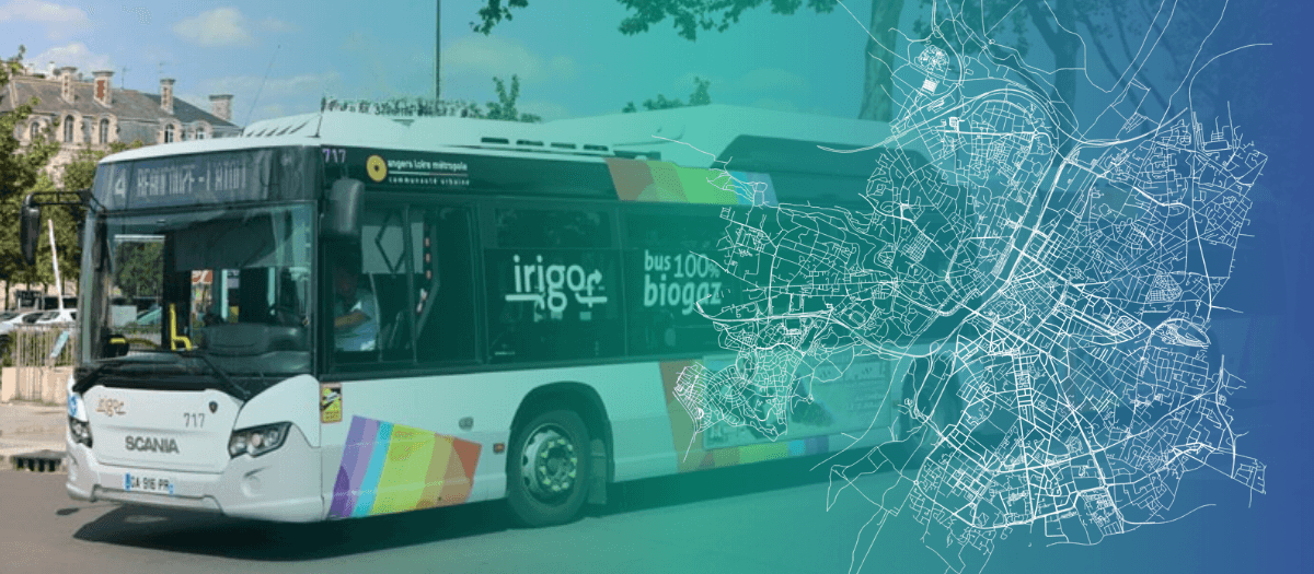
RATP Dev operates the Irigo network in Angers — a full urban bus network serving 155,000 residents with 250 drivers. The challenge: complete live visibility and measurable network performance.
We went from managing the network by intuition and radio to having a complete live picture of every bus, every delay, every incident
— Operations Director, RATP Dev Angers
The context: a major urban network — 250 drivers
Angers Loire Métropole serves 155,000 residents. RATP Dev manages the Irigo network. With 250 drivers operating simultaneously across multiple lines, real-time supervision is complex.
The challenge: 250 vehicles, managing by radio
Before Pysae, supervision relied on radio communication. Regulators had a partial picture — not the complete, real-time view needed for fast operational decisions.
The solution: complete live supervision
Pysae deployed across the full Irigo fleet. The control room: a live map updated every 30 seconds, 250 vehicles, automatic delay flagging.
- Full network visibility: all 250 vehicles, delays flagged as they develop
- Pysae Driver: drivers see real-time adherence — radio volume dropped significantly
- Instant incident management: instructions sent via platform, no radio queue
- Automated KPI reporting: punctuality by line and time slot, delivered to the authority
Results
- 250 drivers live on the platform
- 30s GPS update interval
- 100% of lines supervised in real time